Routing Cover
Routing Cover

Routing

Precision for everything

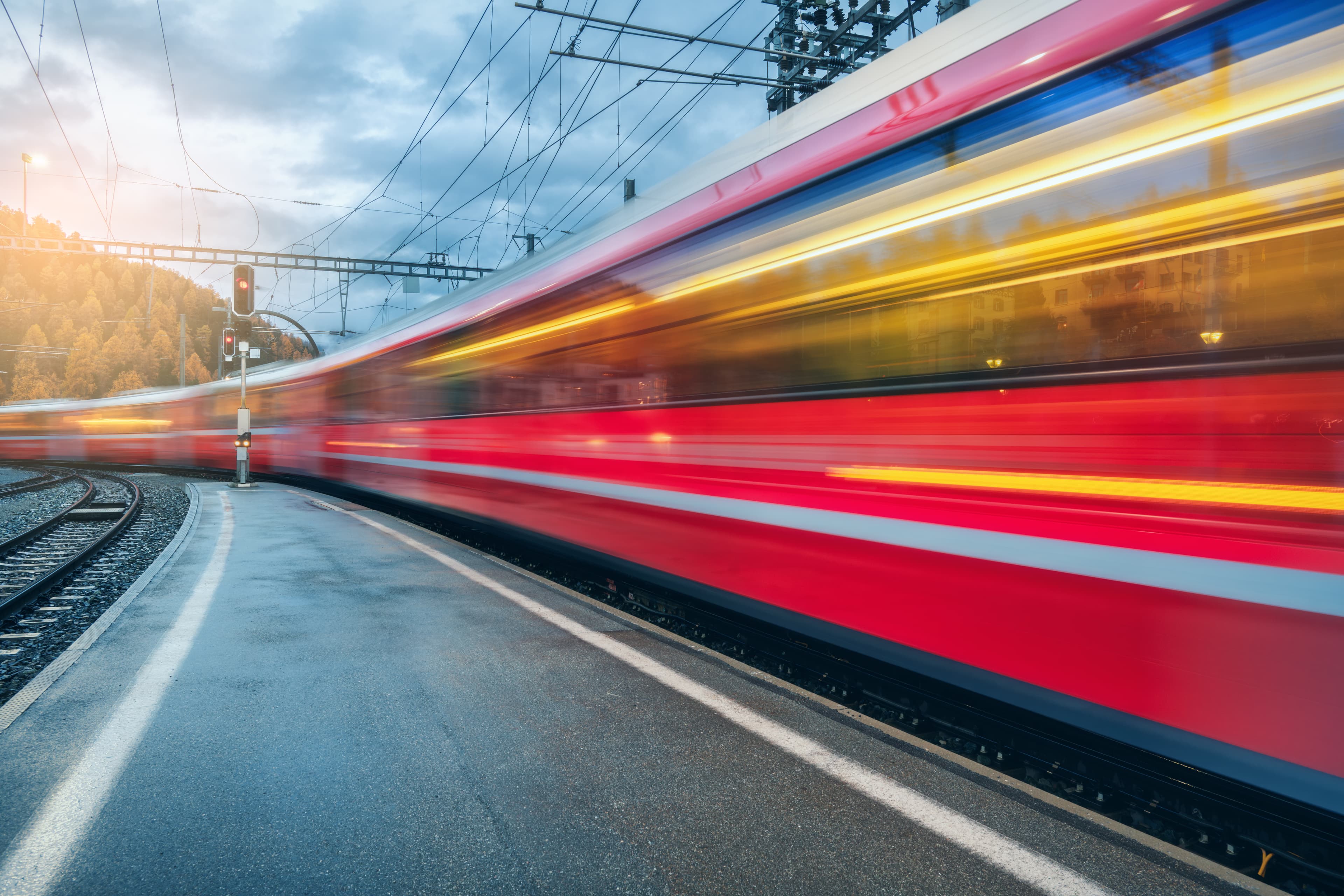
Finding the precise way from A to B is no problem today - as long as you are traveling by car or on foot. But finding the route of a bus or train is a different story. Our routing service includes a large number of vehicles, resulting in higher precision than any other service, especially when it comes to public transport vehicles. We guarantee high quality because the routing relies on richly attributed data from the rail, road and footpath network and uses sophisticated heuristics.

Suitable

The routing is adapted to our maps. For long distances that are used in small-scale overviews, the routes are simplified ("generalized") in exactly the same way as in the maps, so that they correspond exactly to the features on the base map. In contrast, routes are calculated in great detail for detailed views, right down to individual tracks in the station.

One application of routing can be found in our worldwide tracker, in which the routes are calculated as trajectories for all vehicles.

WKP Route

The Routing service is applied in numerous projects. For example, the routes are shown in our real-time tracker calculated above. The Swiss Federal Railways (SBB) uses the routing for trains, trams, buses and cable cars to provide travelers with detailed information about the course of the travel itinerary. Routing is also available in mapset to simplify the drawing of footpaths in the map.

Routing

Where to go and how

Exact routes also have the potential to analyze the characteristics along the route. On this basis, we offer, for example, exact height profiles or counts of objects such as level crossings, traffic lights or pedestrian crossings along the route. Here we offer evaluations specifically tailored to your requirements.

Interested?

E-Mail: info@geops.ch
Telephone: +41 61 588 05 05

More on this topic
1 min reading time › | Solution

Developer Portal

Our developer portal offers a modular system of web services and open-source software for your application.

read more
1 min reading time › | Solution

TRALIS – hub for timetable and real-time data

Data integrator and data supplier, analysis pot, con­verter - the data hub is the basis for these and more functions

read more
3 min reading time › | Solution

Live Maps

Live Maps show the positions of public transport vehicles on a map. In addition to the map visualization, the processing of the vehicle positions creates precise forecasts for travelers.

read more
3 min reading time › | Blog

Tree App in transition - refactoring for the future of the forest

The TreeApp has been technically modernized - with TypeScript, Next.js and an integrated database for recommendations. Improved performance, mobile usability and new functions such as sharing your own tree species recommendations round off the update.

read more
3 min reading time › | Blog

React 18 support for create-react-web-component

We want to update five year old dependencies the trafimage-maps project. But it appears one project dependency is deprecated. What should we do? Fix the project or use something else? We decided to fix the project and give back to the community.

read more
3 min reading time › | Blog

performance.now()

Zwei Frontend-Entwickler von geOps machten sich nach Amsterdam auf, um an der performance.now() teilzunehmen, einer zweitägigen Konferenz mit vierzehn erstklassigen Sessions, die die wichtigsten Erkenntnisse zur Web-Performance von heute behandeln.

read more

Contact

geOps AG
Solothurnerstrasse 235
CH-4600 Olten

fon: +41 61 588 05 05
mail: info@geops.ch
geOps GmbH
Bismarckallee 10
D-79098 Freiburg im Breisgau

fon: +49 761 458 925 0
mail: info@geops.de
Imprint | Privacy | Terms of service